Grande Ronde River Photography

Photos of Lewis and Clark’s Wil-le-wah River…
…and its basin. (see also other Grande Ronde pages of photos).
The lands drained by Oregon’s Grande Ronde River were first brought to the white man’s attention by Lewis and Clark who never set foot in any of the Grande Ronde country. Relying entirely on descriptions of the landscape provided by Nez Perce Indians living along Idaho’s Clearwater River, the explorers drew up a map clearly showing the spectacularly winding course of a river the Indians were calling “Wil-le-wah” which (they claimed) emptied into the Snake River upstream from the Clearwater. The impressive meanders of this river now called the Grande Ronde were precisely what the Indians were emphasizing with their word (now properly spelled “Weliwe”) that Lewis and Clark adopted for their map. “Entrenched meanders” is how geologists now describe what the Indians were describing, and the Grande Ronde exhibits some of the world’s best examples of this phenomenon. The Indians clearly appreciated what was distinctive about a river confined to a precipitous, meandering canyon.
By the time that Captain Bonneville’s expedition explored the lower Grande Ronde thirty years later in 1834, Lewis and Clark’s Wil-le-wah River had become known to white Americans—to Bonneville and to Washington Irving in any case— as the “Way-Lee-Way.” Henry Wadsworth Longfellow had his own way with this Nez Perce word when he wrote of the “Walloway” in a poem. Nobody then who used the word or its various corruptions knew they were talking about this river’s unique geomorphology. But the Indians knew.
French Canadian fur trappers referred to the river’s flat and round upper valley near today’s city of La Grande as the Grande Ronde, and their name for the valley eventually prevailed over the Nez Perce name for the river as a whole.
To settle another matter, none of the versions of the Nez Perce word ‘Weliwe’ (referencing a river’s meanders) had anything to do with the origin and meaning of ‘Wallowa’ which is the white man’s rendition of an entirely different Nez Perce word, ‘Walawa,’ which refers to a tripod device used in trapping fish. ‘Wallowa’ was coined as an English word at a precise moment in 1865 when the first surveyors invaded what is now called the Wallowa Valley and encountered an Indian. Asked for the name of the river he was standing next to, the Indian reportedly said “Walawa” (meaning fishtrap river, perhaps) which sounded like ‘Wallowa’ to the ears of the surveyors, and that’s what they wrote down, spelling the word then as it is spelled now. (This account of the origin of ‘Wallowa’ can be found in the writings of esteemed Wallowa County historian Grace Bartlett.) So today we have the Wallowa River, Wallowa Lake, Wallowa Mountains, and Wallowa County—all because the surveyors ran into a particular Indian at a particular moment in 1865.
The collection of photos in this Grande Ronde portfolio pertains to locations in the Grande Ronde River watershed but does not include lands drained by the Wallowa River (yes, a tributary of the Grande Ronde) which deserve their own pages (see the Wallowa Mountain, Wallowa Valley, and Zumwalt portfolios for those scenes). Joseph Creek and its tributaries in the Chesnimnus country drain into the Grande Ronde and are therefore included in this gallery, as is the Wenaha River, a major tributary of the Grande Ronde, flowing out of the Wenaha-Tucannon Wilderness. For more photos of the Grande Ronde River country, see other portfolios on this website.

E100 Grande Ronde River
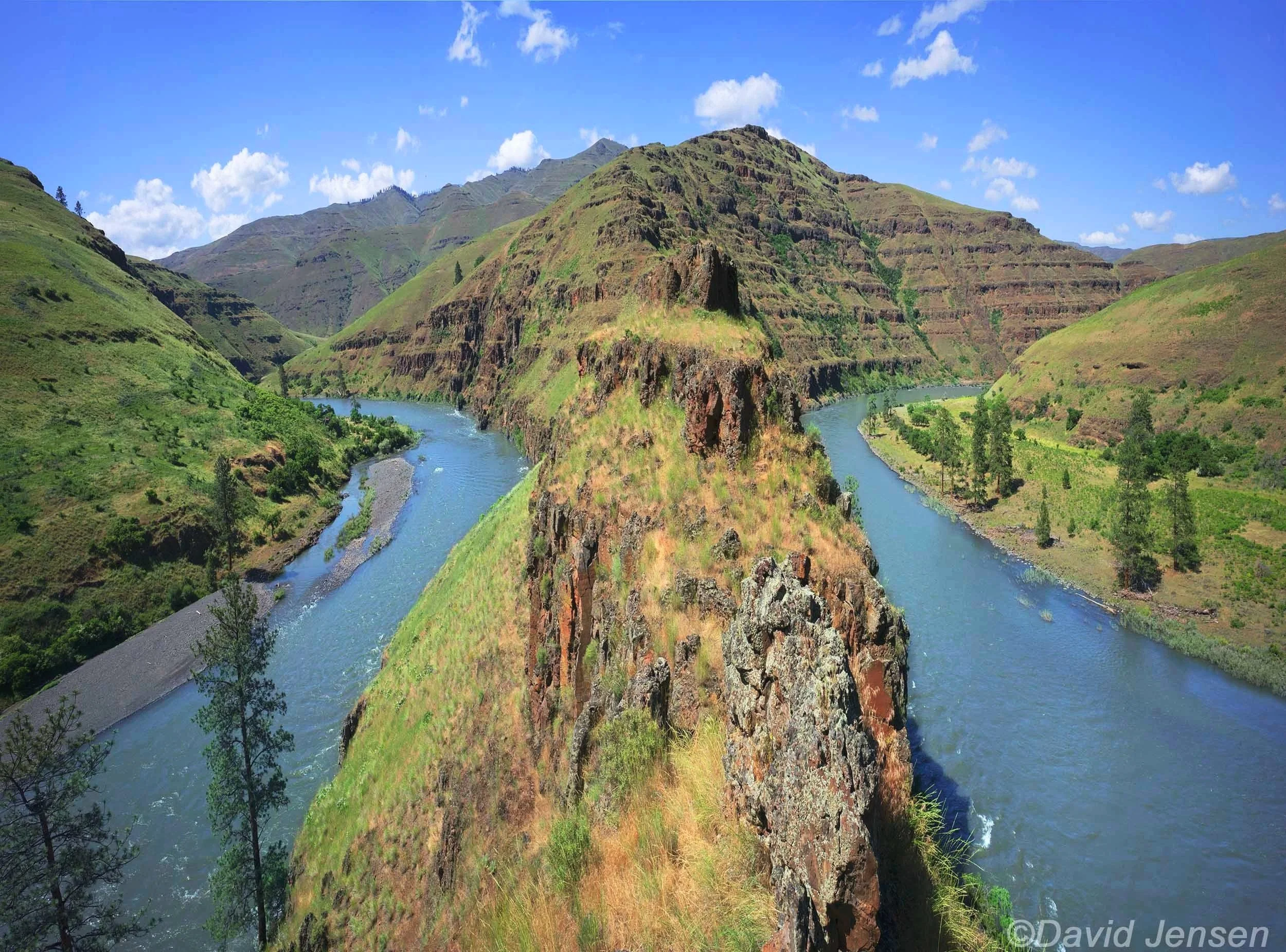
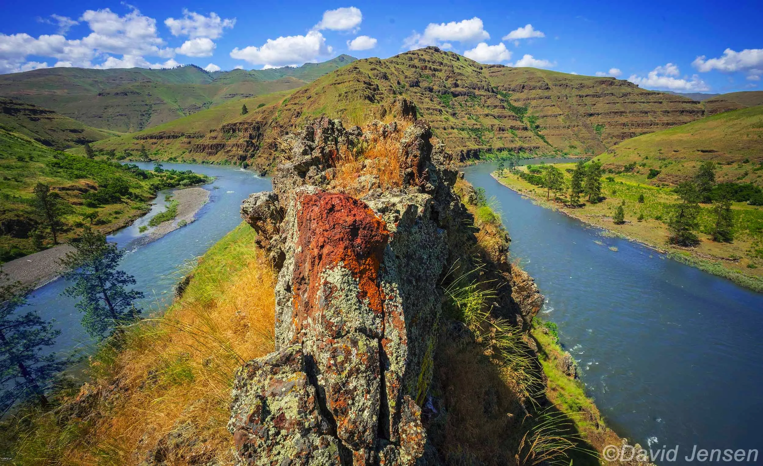
E 101 Grande Ronde River upstream and downstream from gooseneck at entrenched meander

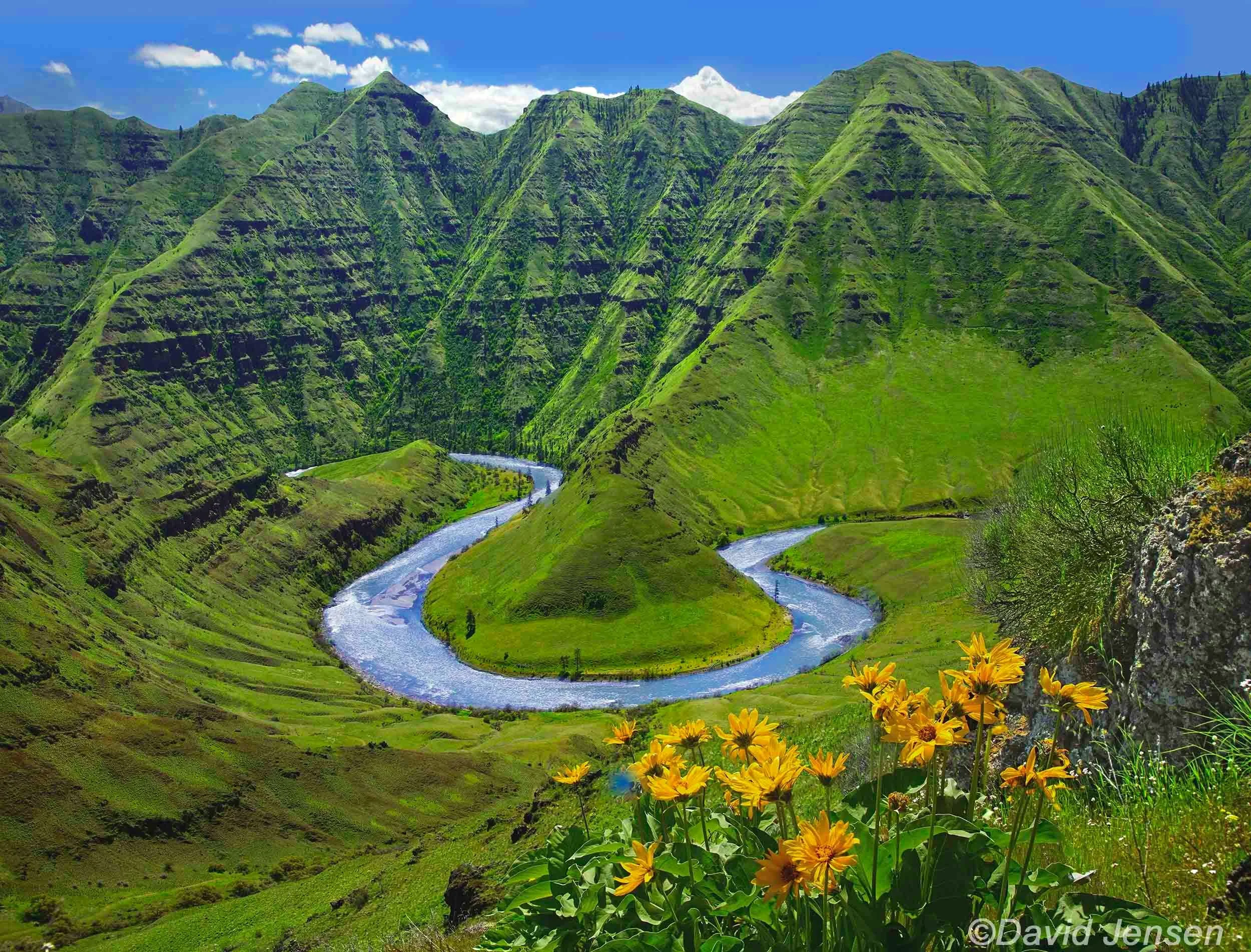
E 102 Grande Ronde River entrenched meanders

E 103 Grande Ronde River

E 104 Grande Ronde River
E 105 Grande Ronde River

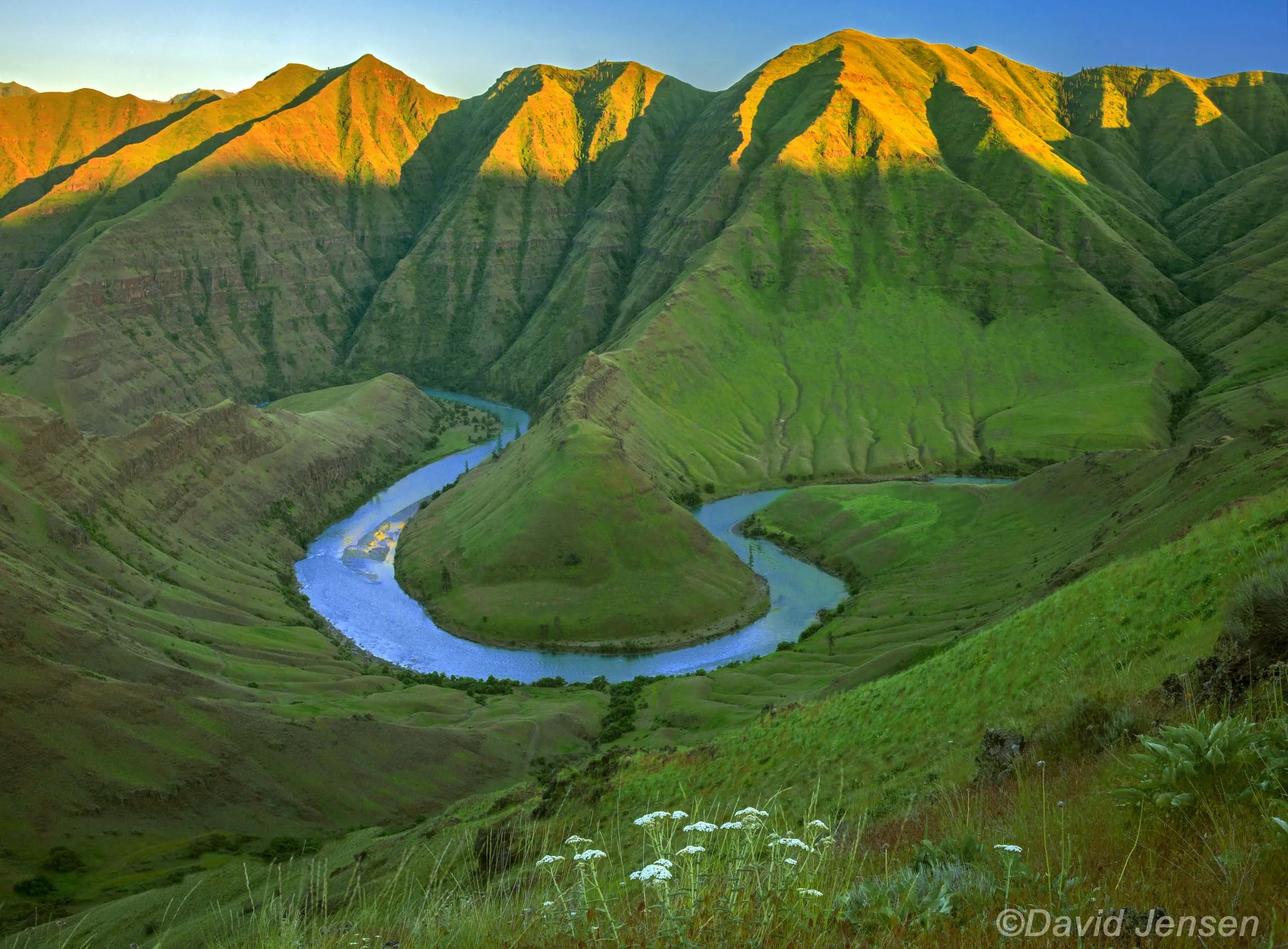
E 106 Grande Ronde River horseshoe bend
E 107 Grande Ronde River
E 108 Grande Ronde River
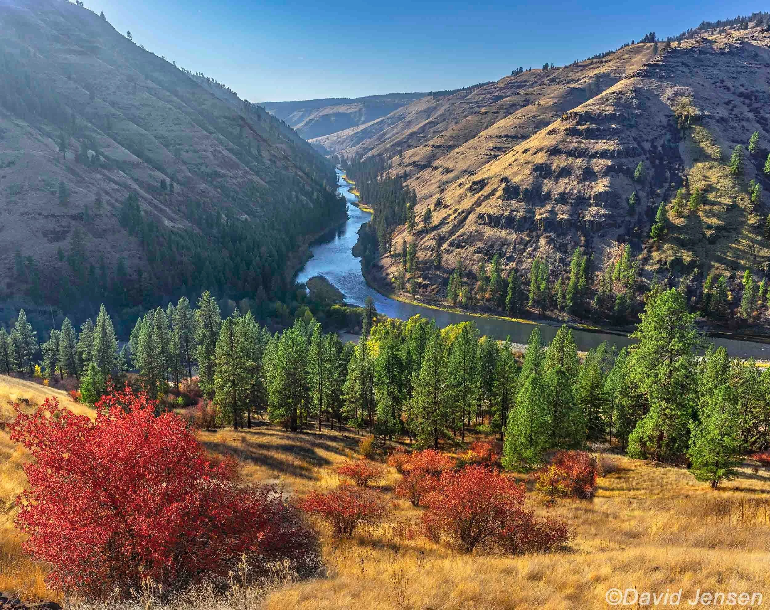
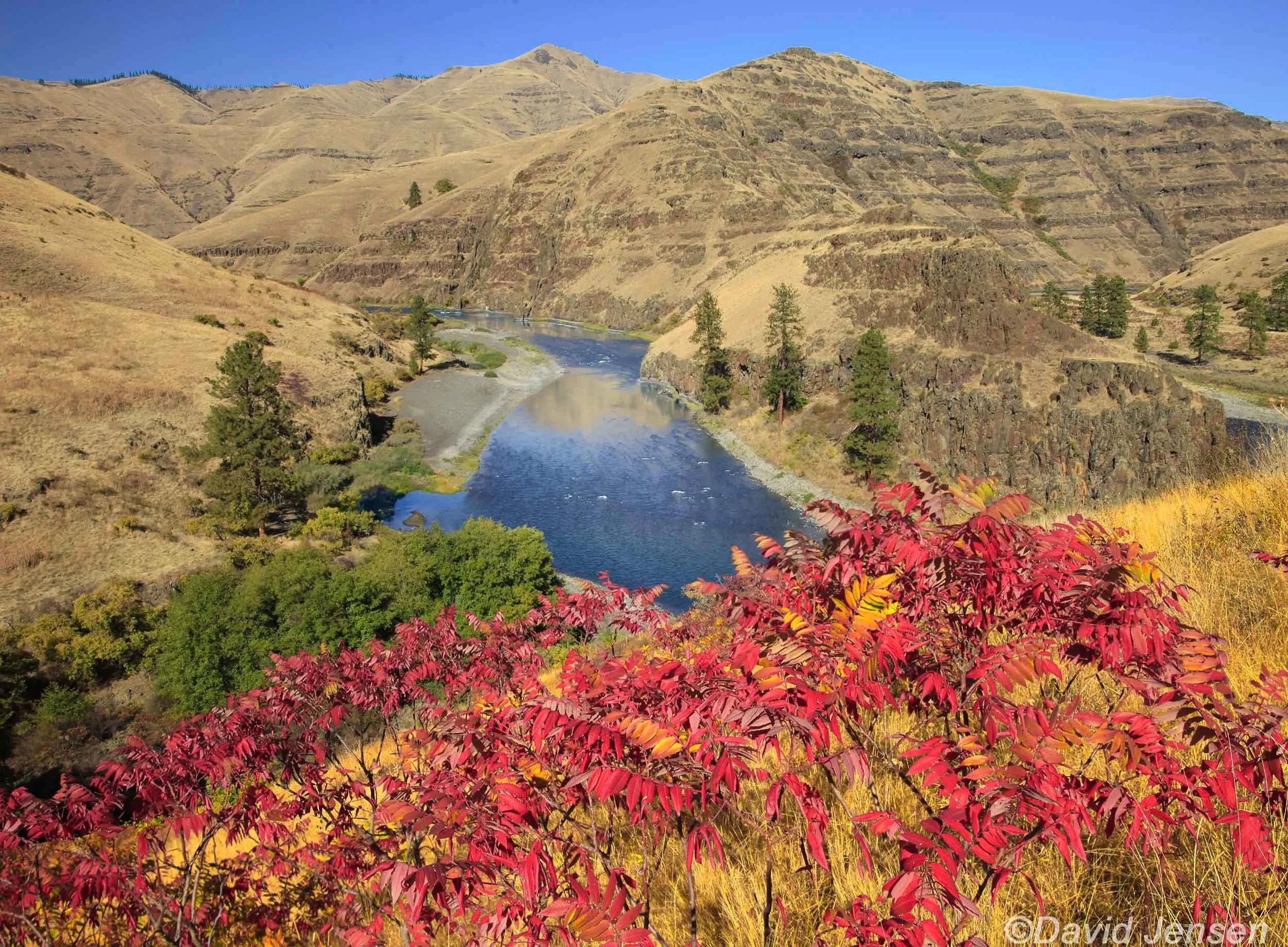
E 109 Grande Ronde River with hawthornes

E 110 Grande Ronde River Valley near La Grande
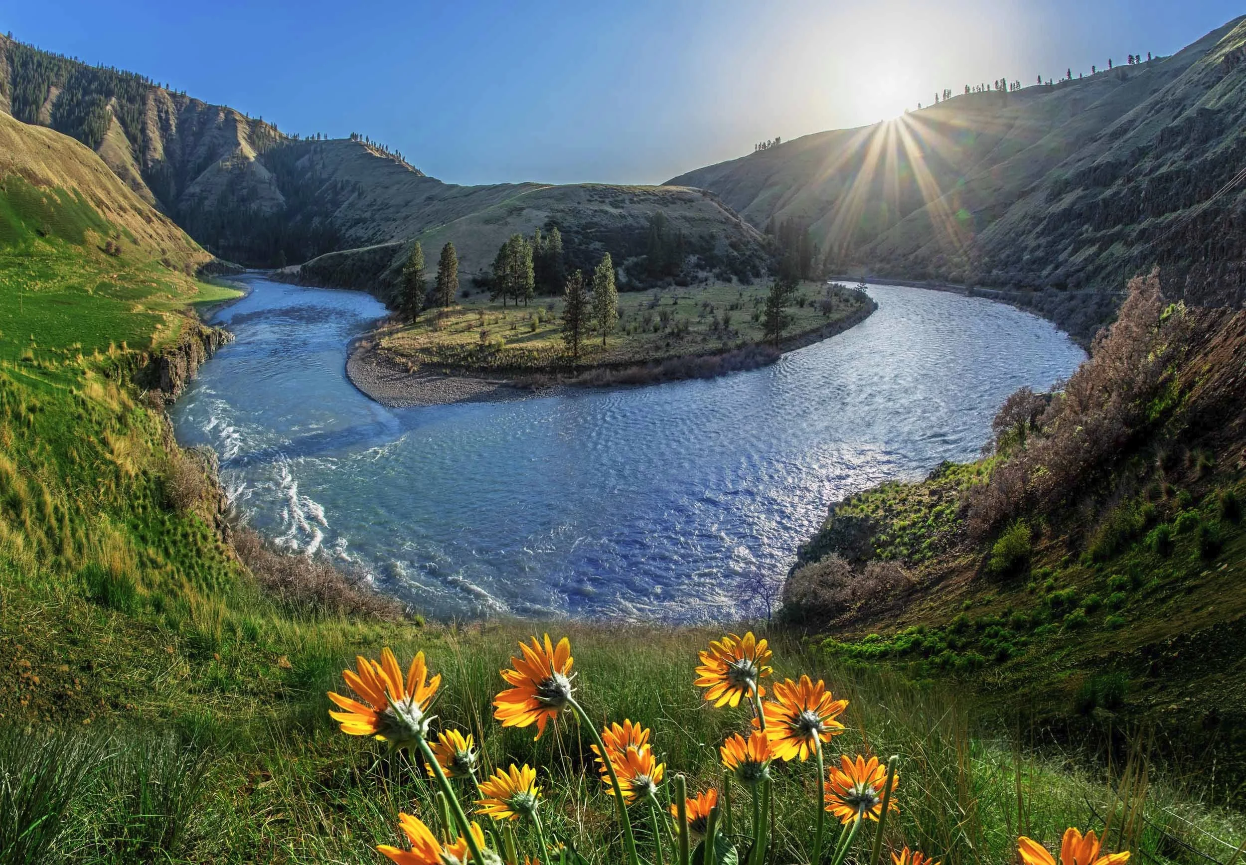
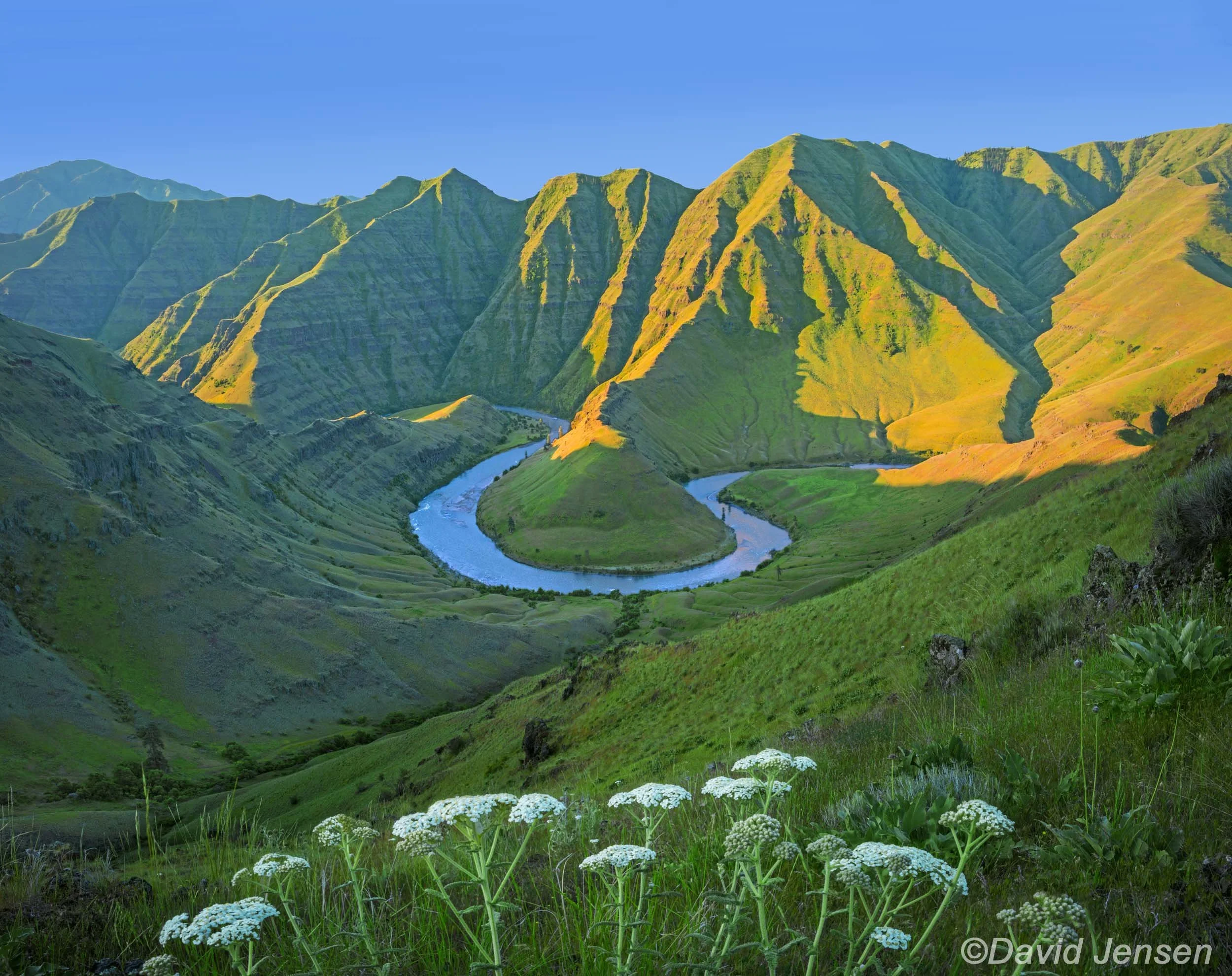
E 111 Grande Ronde River Horseshoe Bend

E 112 Ladd Marsh Mt Emily in Grande Ronde Valley

E 113 Ladd Marsh below Mt Emily Grande Ronde Valley
E 114 Minam River flowing out of Wallowa Mountains
E 115 Minam River

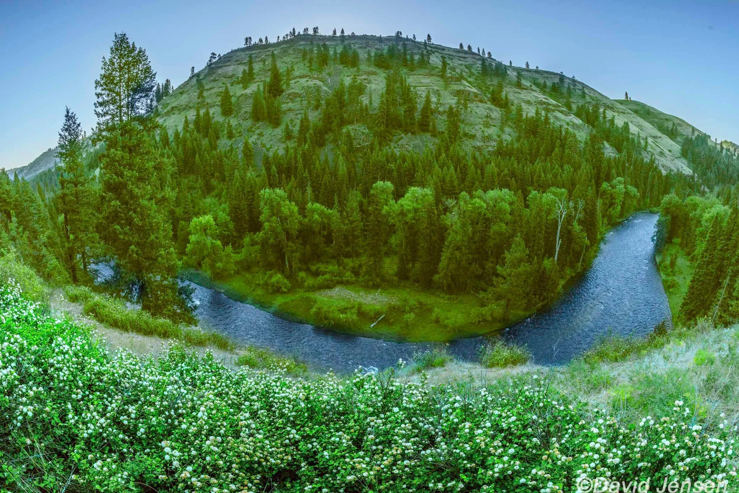
E 116 Grande Ronde River

E 117 Mt. Emily above Grande Ronde Valley
E 118 Isquulkpte Creek Canyon Overlook, Blue Mountains isq

E 119 Willows Ladd Marsh in Grande Ronde Valley below Wallowa Mountains

E 120 Grande Ronde River

E 121 Grande Ronde River
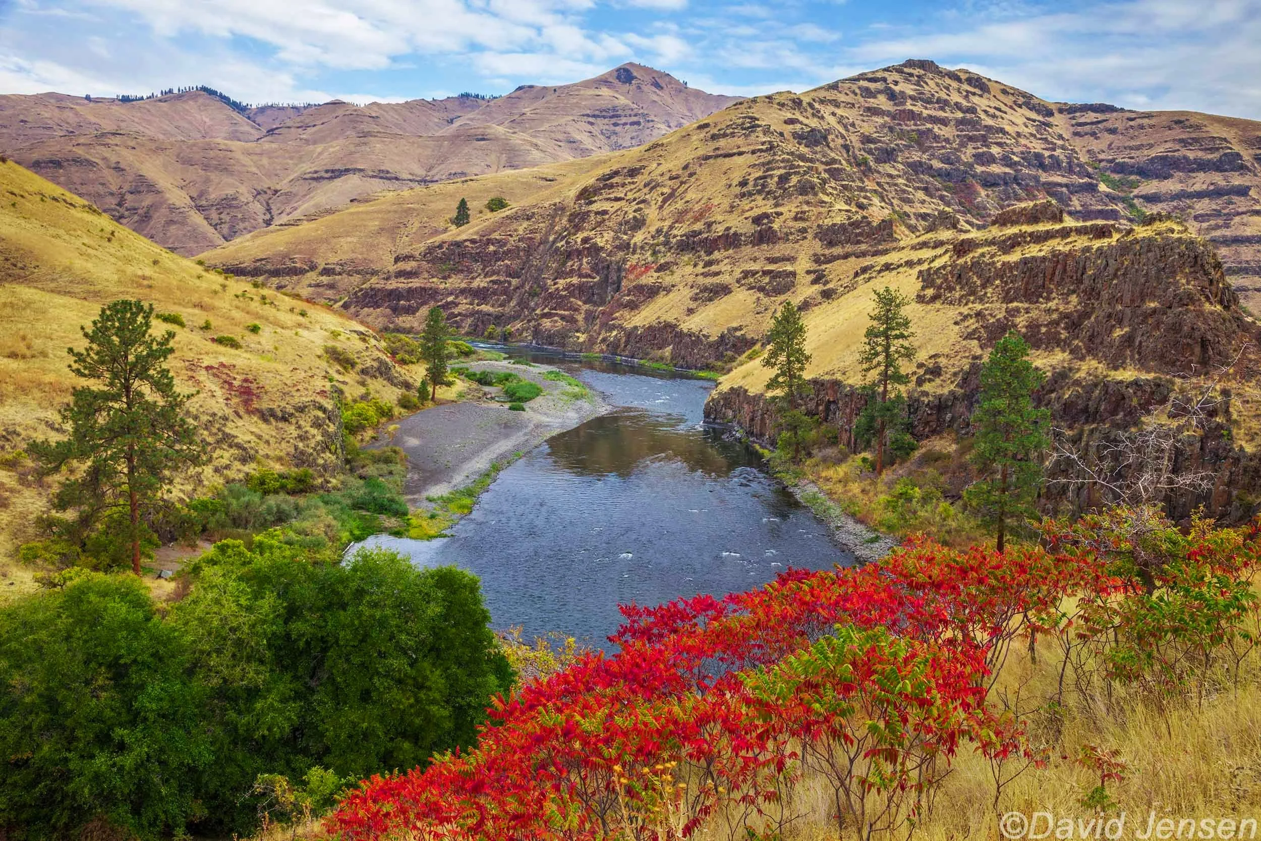
E 122 Grande Ronde River and sumac
E 123 Grande Ronde River upstream and downstream

E 124

E 125

E 126

E 127 Grande Ronde River

E 128 Grande Ronde River
E 129 Grande Ronde River with sumac

E 130 Grande Ronde River sunrise

E 131 Grande Ronde River

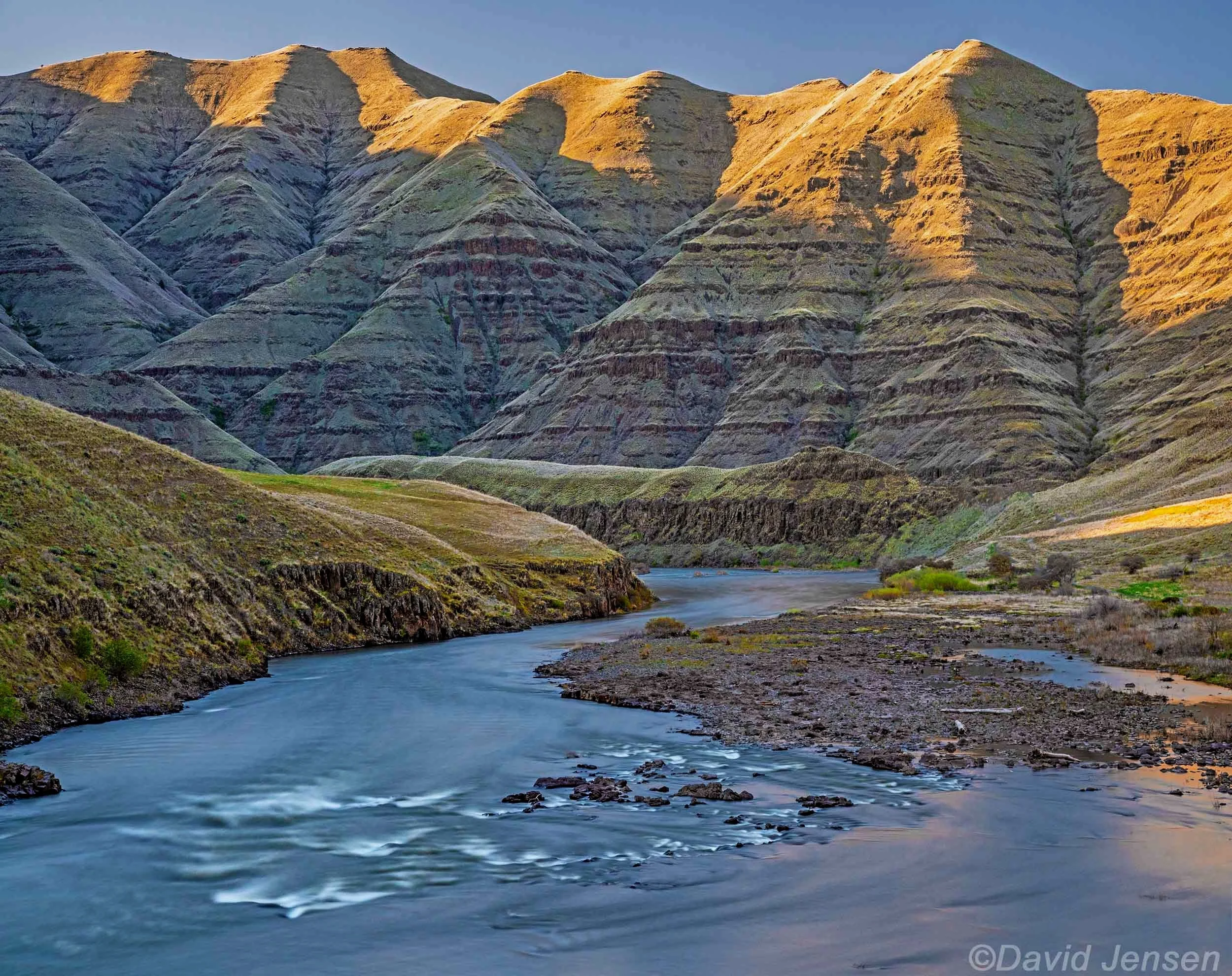
E 132 Joseph Canyon
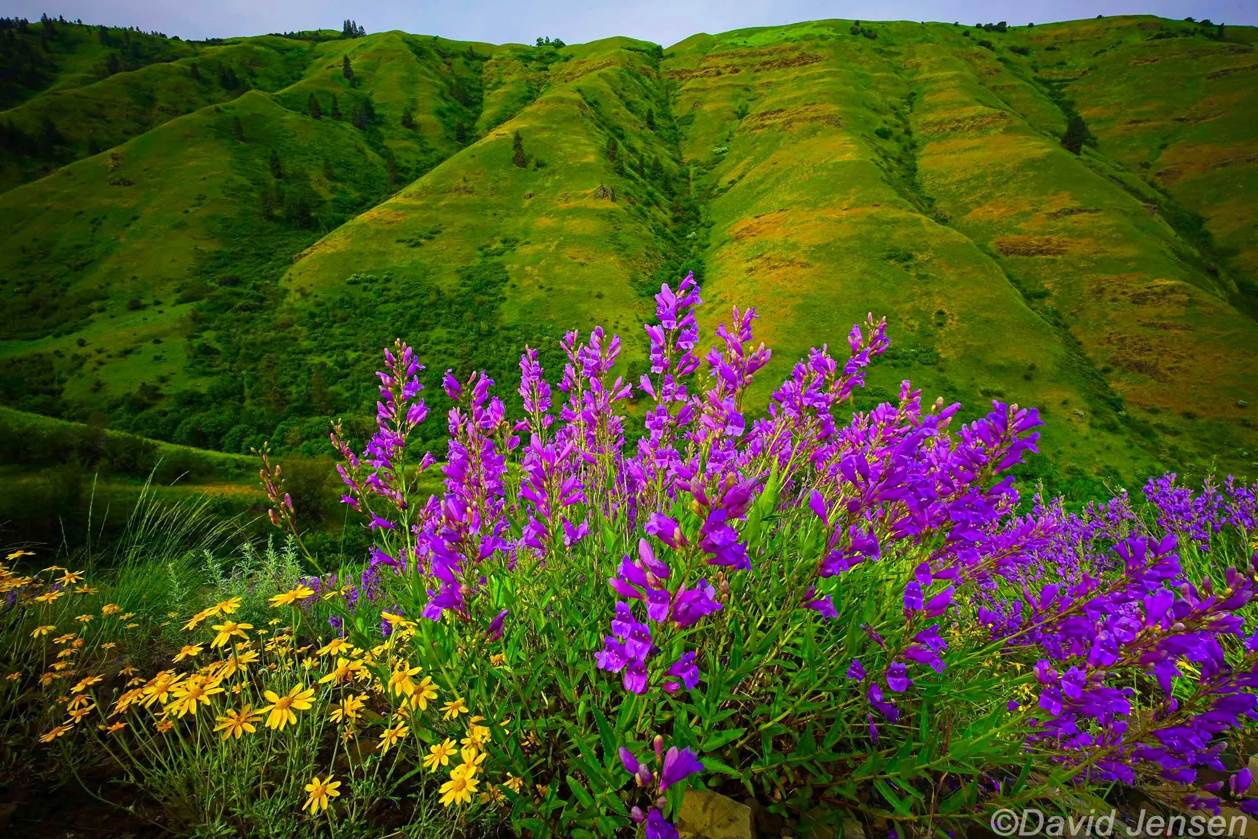
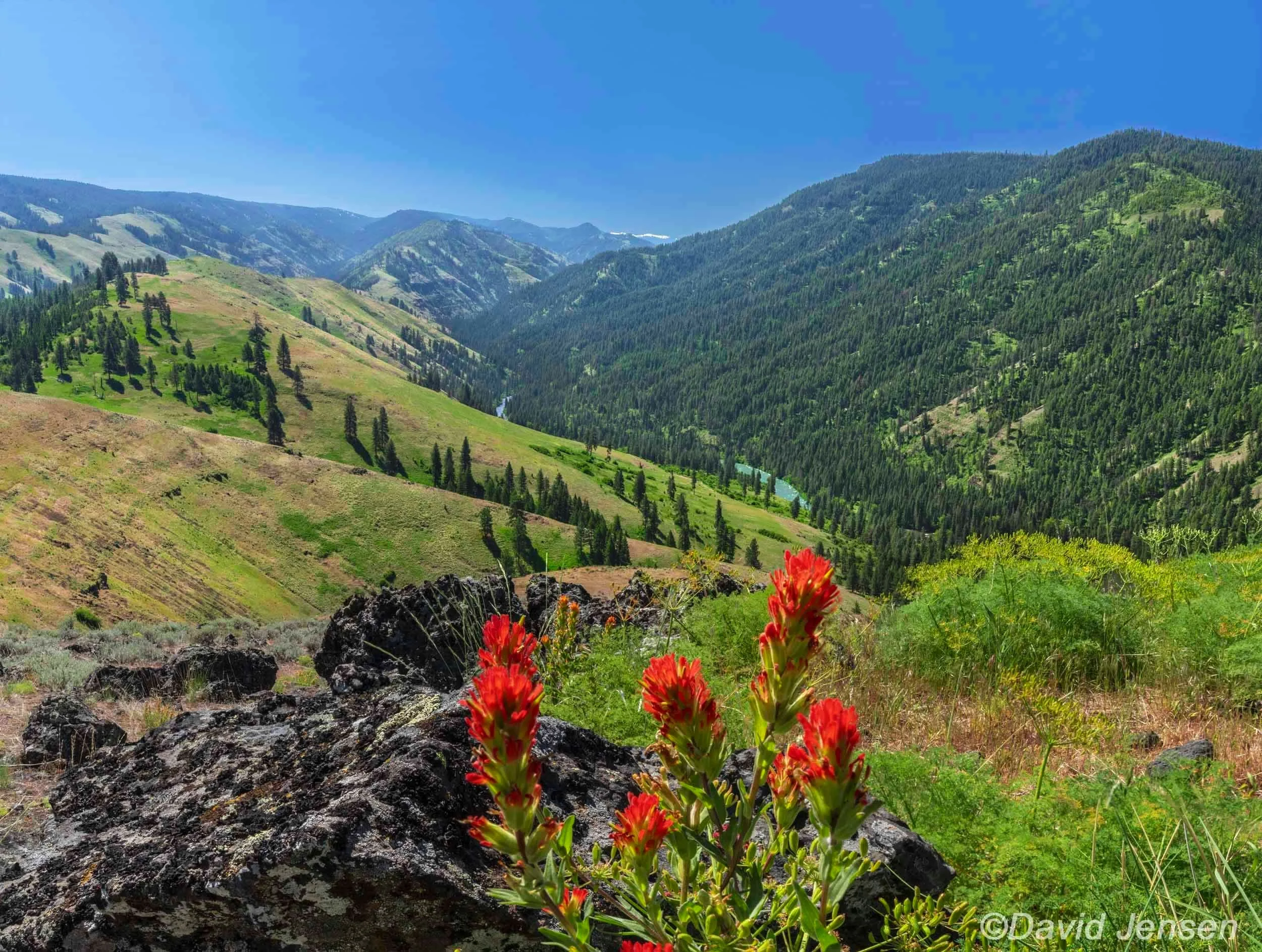
E 133 Wildflowers Buford Canyon

E 134 Grande Ronde River

E 135 Grande Ronde River

E 136 Grande Ronde River

E 137 Grande Ronde River

E 138 Grande Ronde River with phlox

E 139 Grande Ronde River nearing the Snake River

E 140 Grande Ronde River
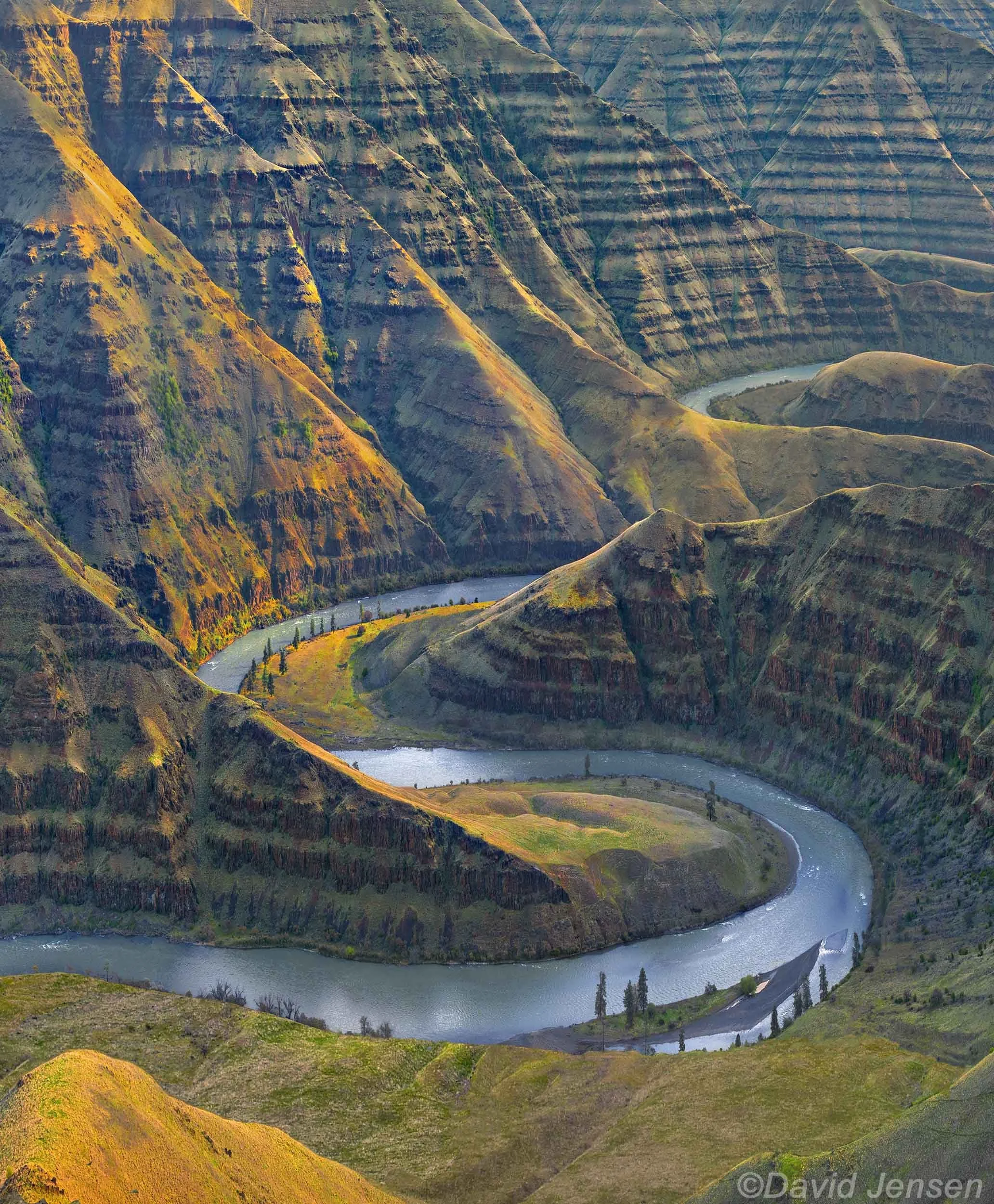
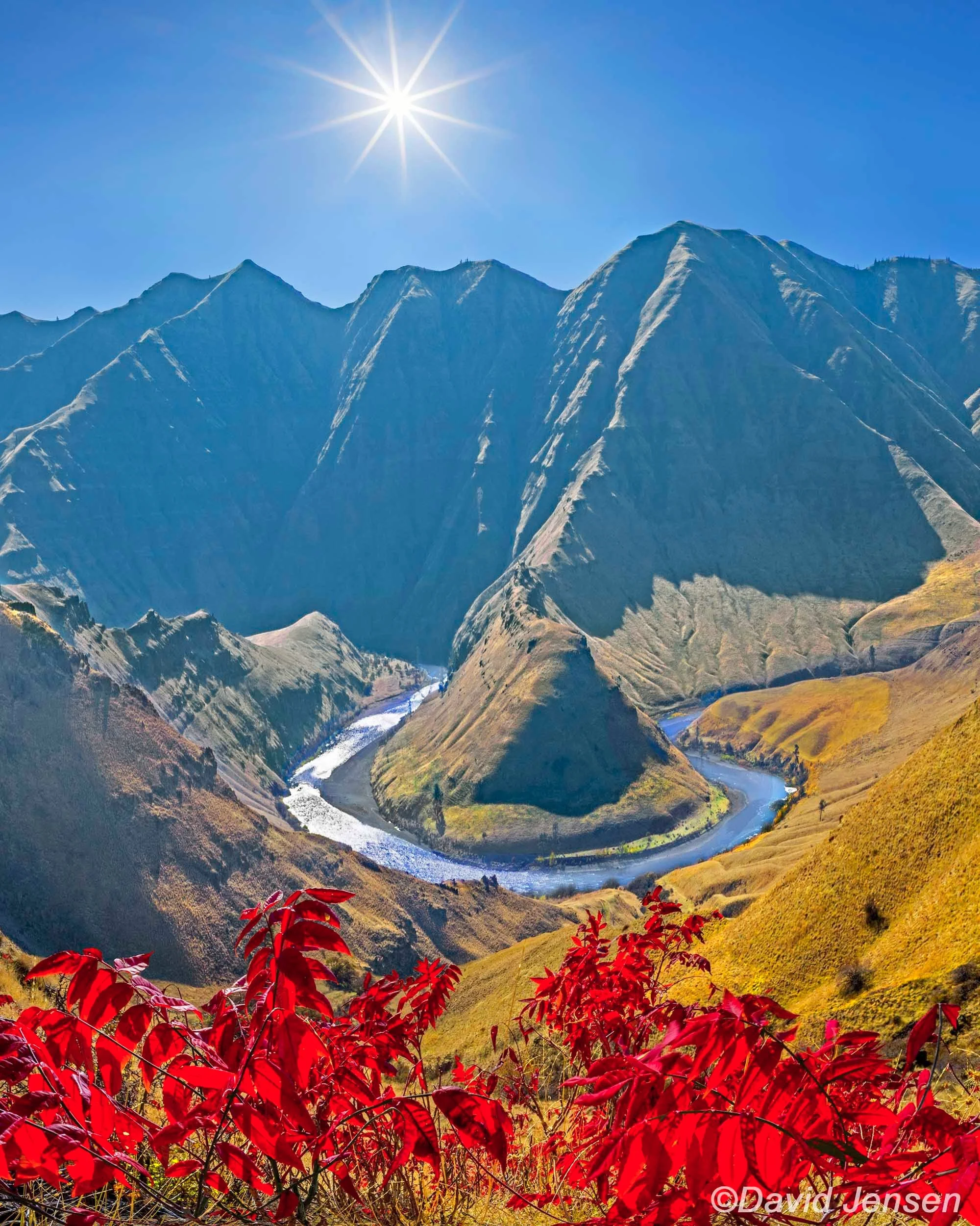
E 141 Grande Ronde River entrenched meanders

E 142 Grande Ronde River

E 143 Grande Ronde River

E 144 Grande Ronde River

E 145 Grande Ronde River
E 146 Grande Ronde River
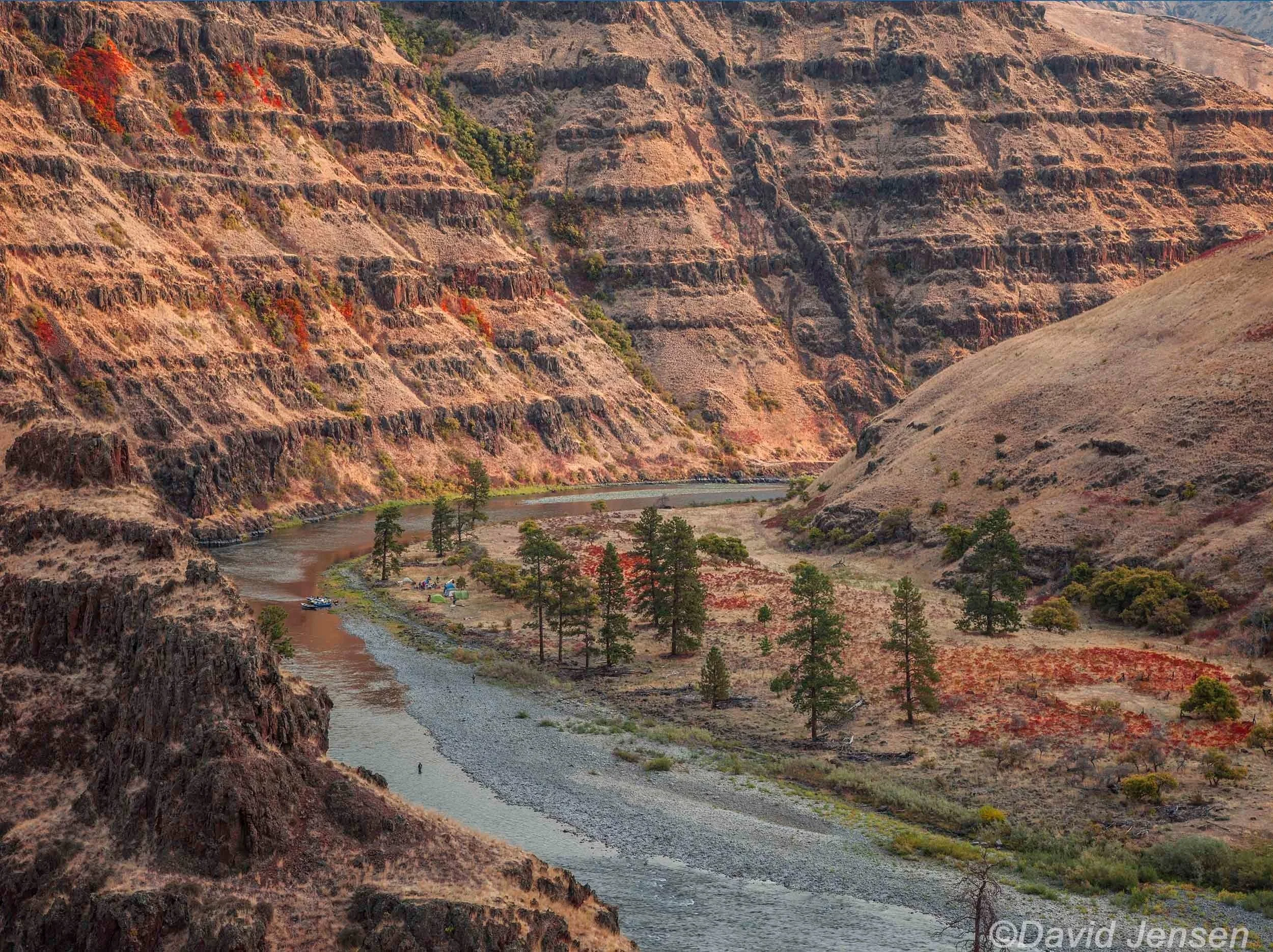
E 147 Grande Ronde River at mouth of Joseph Creek
E 149 Grande Ronde River

E 150 Grande Ronde River

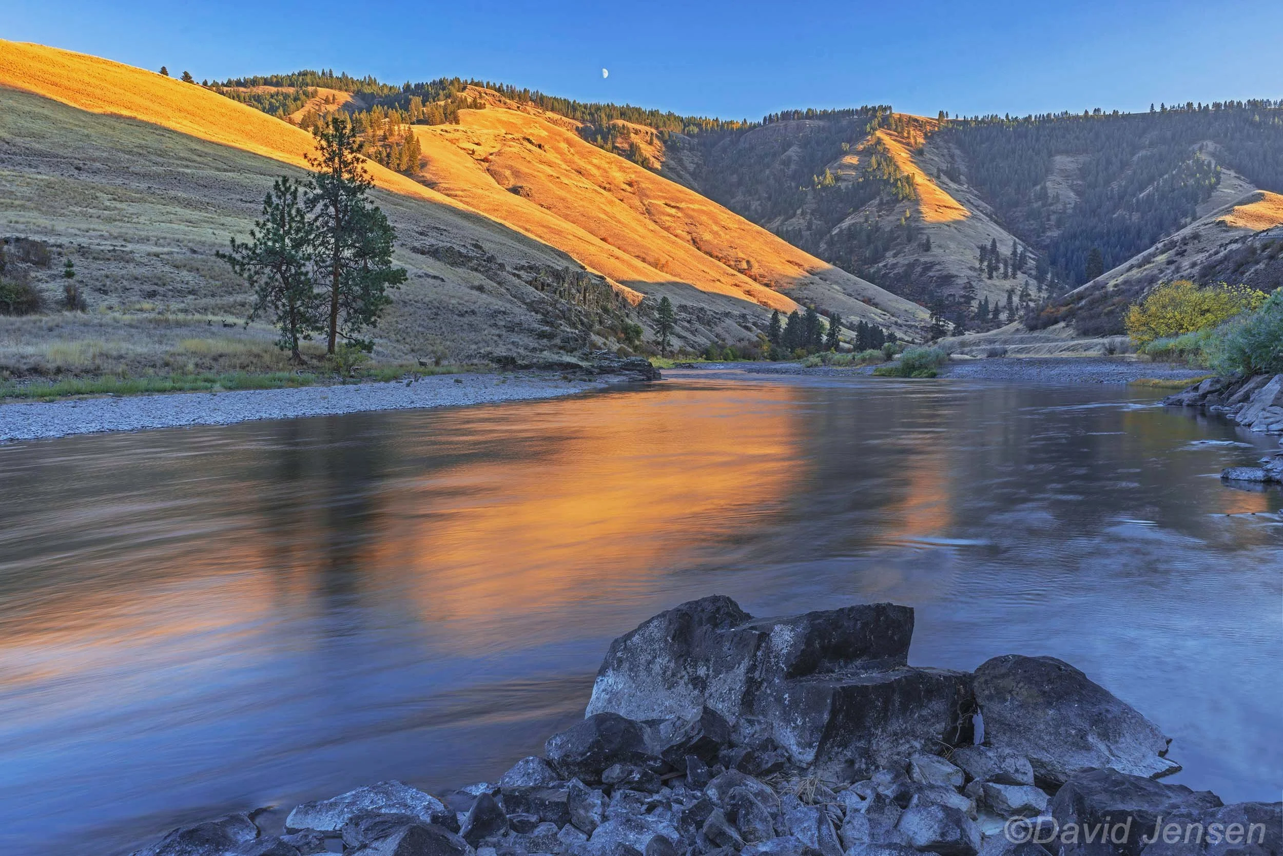
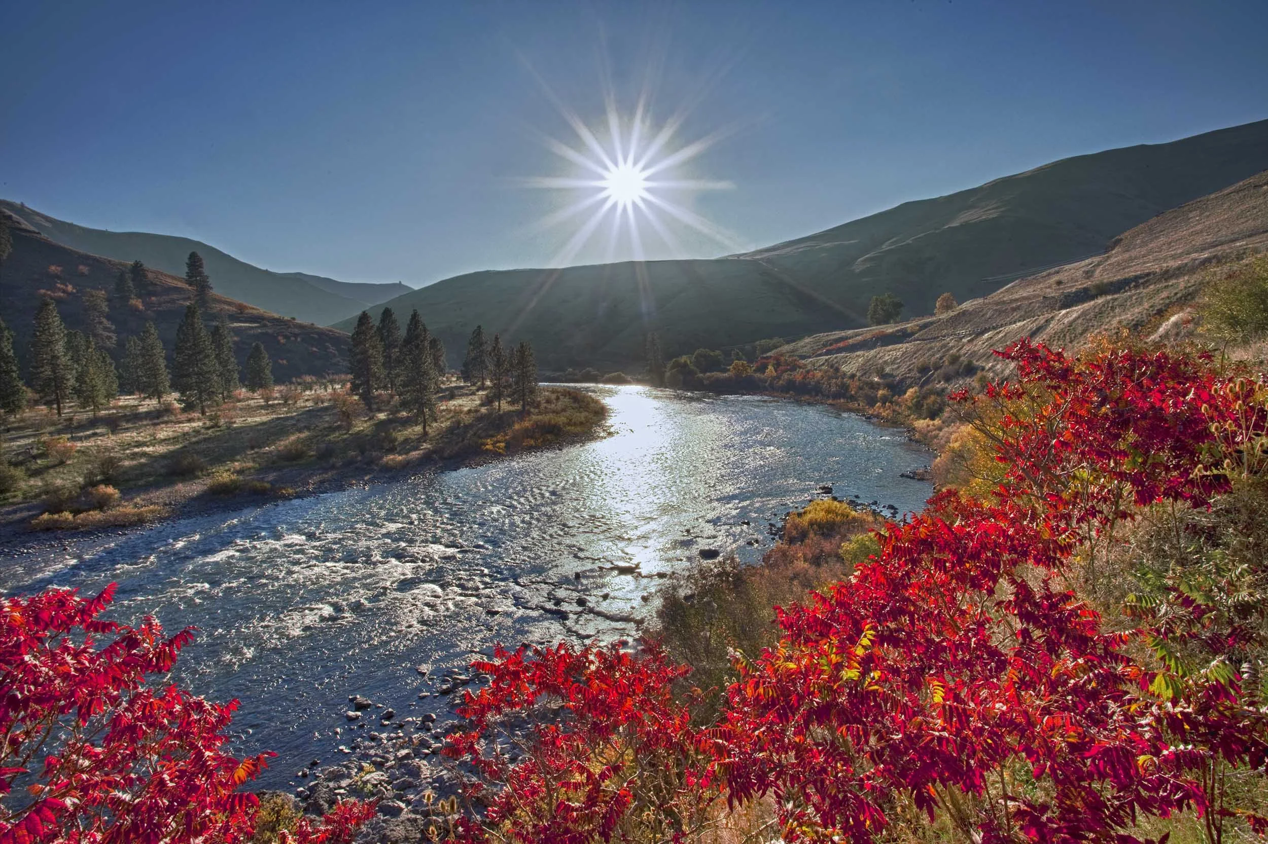
E 151 Grande Ronde River upstream from La Grande at Hilgard

E 152 Grande Ronde River

E 153 Grande Ronde River

E 154 Grande Ronde River at Bear Creek

E 155 Freezing Grande Ronde River

E 156 Freezing Grande Ronde River
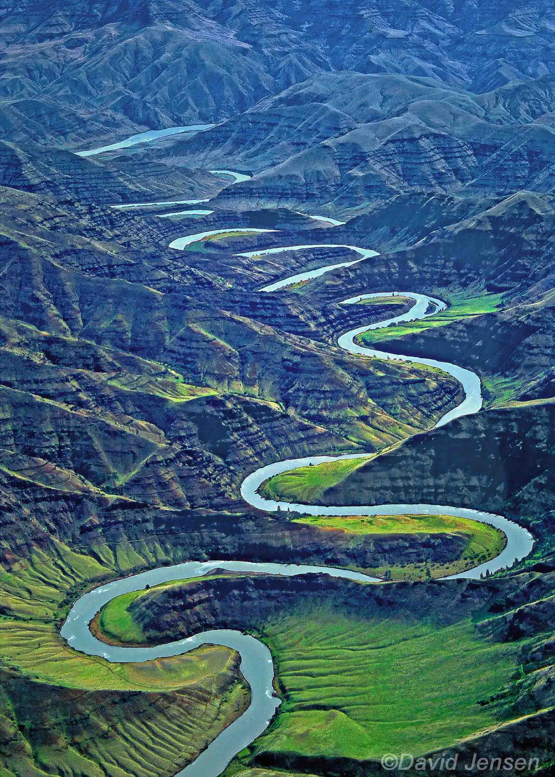
E 157 Grande Ronde River entrenched meanders
E 158 Grande Ronde River
E 159 Grande Ronde River entrenched meanders eroded into basalt lava flows

E 160 Grande Ronde River

E161 Grande Ronde Valley and Mt Harris

E 162 Grande Ronde River and phlox

E 163 Wallowa River moonlit